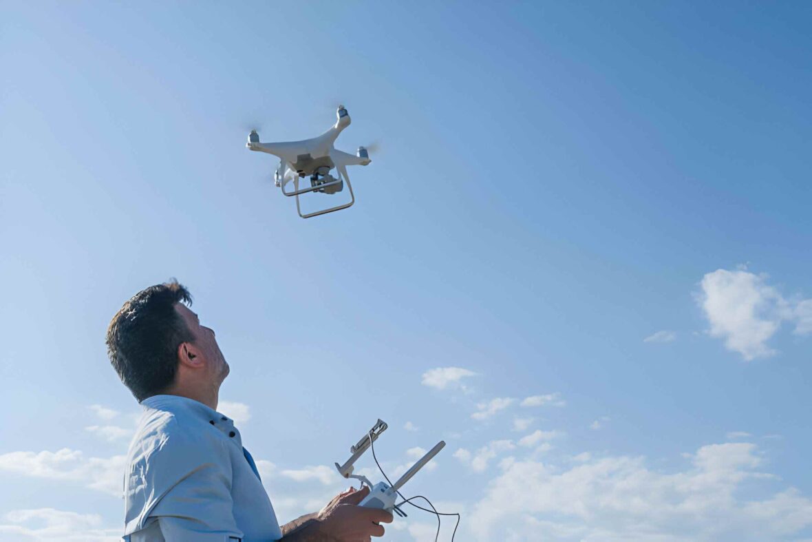
Regarding technological advancement, drones have emerged as versatile tools with myriad applications across various industries. Brands like Skydio X10 Drone, which stands out for their innovative features and capabilities. Delve into ten innovative applications that showcase the diverse utility of this groundbreaking technology.
Contents
1. Aerial Surveying And Mapping
The Drone X10’s high-resolution cameras and precise navigation system make it ideal for aerial surveying and mapping. From construction sites to agricultural fields, this drone can efficiently capture detailed imagery and generate accurate maps, facilitating planning and decision-making.
Its advanced technology allows seamless integration with Geographic Information Systems (GIS), enabling professionals to analyze spatial data and identify patterns for enhanced resource management. The drone’s ability to autonomously follow predefined flight paths also ensures consistent data collection, even in complex terrain or adverse weather conditions.
2. Search And Rescue Operations
In emergencies, every second counts. Brands like Skydio and their X10 Drone have advanced sensors and real-time streaming capabilities, enabling swift and effective search and rescue operations. Equipped with thermal imaging cameras, it can detect heat signatures and locate missing persons or survivors in challenging environments.
Additionally, its high-speed maneuverability and long flight endurance enhance its suitability for navigating difficult terrain and reaching remote locations quickly. The integration of artificial intelligence algorithms further enhances its search capabilities, enabling it to analyze vast areas with precision and accuracy, ultimately saving lives in critical situations.
3. Infrastructure Inspection
Inspecting infrastructure such as bridges, pipelines, and power lines often involves hazardous conditions and meticulous attention to detail. The Drone X10’s agile maneuverability in confined spaces and its capacity to capture high-definition footage ensure thorough inspections while mitigating risks to human safety.
Its advanced sensors and stable flight enable close examination of structural integrity and potential defects, facilitating timely maintenance and preventing costly damages. By leveraging the Drone X10’s capabilities, industries can enhance efficiency and safety standards in infrastructure inspection practices, ultimately contributing to the reliability and longevity of critical assets.
4. Wildlife Monitoring
Conservation efforts rely heavily on monitoring wildlife populations and habitats. The Drone X10’s quiet operation and long flight endurance make it an ideal tool for conducting non-invasive wildlife surveys. It can capture footage from above, providing valuable insights into animal behavior and ecosystem dynamics.
Furthermore, its ability to access remote or inaccessible areas allows researchers to study wildlife in their natural habitat without causing disturbance. This enables more accurate data collection and informed conservation decisions, ultimately contributing to preserving biodiversity and protecting endangered species.
5. Filmmaking And Cinematography
In the entertainment industry, aerial shots add a dynamic perspective to film and video productions. With its stable flight and cinematic capabilities, the Drone X10 empowers filmmakers to easily capture breathtaking aerial footage, enhancing the visual storytelling experience.
Its precise controls and advanced camera features enable smooth transitions between scenes, allowing directors to achieve cinematic effects previously only possible with expensive helicopter shots. From sweeping landscapes to intricate action sequences, the Drone X10 offers unparalleled versatility, making it a valuable asset for filmmakers looking to push the boundaries of creativity and immersive storytelling.
6. Precision Agriculture
Optimizing agricultural practices requires accurate data and efficient resource management. The Drone X10’s ability to collect multispectral imagery allows farmers to monitor crop health, assess soil conditions, and identify areas requiring attention, ultimately increasing yields and reducing environmental impact.
7. Emergency Response
During natural disasters or humanitarian crises, rapid response is critical. The Drone X10 can quickly deploy to assess damage, identify hazards, and coordinate relief efforts. Its aerial perspective provides valuable situational awareness to first responders and aid organizations.
8. Environmental Monitoring
Monitoring environmental changes, such as deforestation or pollution, is essential for preserving ecosystems and biodiversity. Equipped with specialized sensors, the Drone X10 can gather data on air quality, water levels, and habitat conditions, supporting research and conservation initiatives.
9. Event Coverage

From sporting events to music festivals, capturing memorable moments from unique angles enhances the audience experience. The Drone X10’s ability to maneuver smoothly in crowded environments and capture stunning aerial footage makes it a valuable asset for event coverage and marketing.
10. Public Safety
Enhancing public safety requires proactive measures and effective response strategies. The Drone X10’s ability to conduct surveillance and reconnaissance enables law enforcement agencies to monitor large areas, gather evidence, and respond swiftly to emergencies, contributing to crime prevention and community safety.
Conclusion
In conclusion, the Drone X10 represents a paradigm shift in drone technology, offering unprecedented capabilities across various applications. From aerial surveying to emergency response, its versatility and reliability make it an indispensable tool for industries and organizations seeking innovative solutions to complex challenges. As one continues to unlock the sky’s potential, the possibilities for utilizing Drone X10 technology are limitless.


